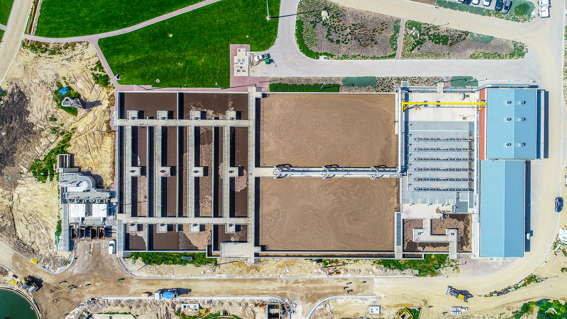
Advanced aerial surveying capturing detailed topographic data for land development projects
The Western Cape's diverse landscape, from the dramatic coastline of the Cape Peninsula to the rolling wine lands of Stellenbosch and the rugged mountains of the Cederberg, presents unique challenges and opportunities for land development. Traditional surveying methods, while reliable, often struggle with the region's varied terrain and environmental sensitivities. Enter aerial surveying – a revolutionary approach that's transforming how we map, analyze, and develop land across this spectacular province.
The Evolution of Surveying in the Western Cape
Land surveying in the Western Cape has a rich history dating back to the early colonial period. Traditional methods involving theodolites, chains, and later, electronic distance measurement tools, have served the region well for centuries. However, these ground-based techniques face significant limitations when dealing with the Western Cape's challenging geography.
The introduction of aerial surveying, particularly drone-based mapping, has revolutionized the field. This technology offers unprecedented accuracy, efficiency, and safety while providing comprehensive data that was previously impossible or prohibitively expensive to obtain.
Understanding Modern Aerial Surveying Technology
Contemporary aerial surveying employs sophisticated drone platforms equipped with high-resolution cameras, LiDAR sensors, and GPS systems capable of centimeter-level accuracy. These systems can capture thousands of overlapping images that are processed using photogrammetry software to create detailed 3D models, orthomosaic maps, and digital elevation models.
Key Technologies in Aerial Surveying
- Photogrammetry: Creating accurate measurements and 3D models from overlapping photographs
- LiDAR (Light Detection and Ranging): Using laser pulses to create precise elevation data
- RTK GPS: Real-time kinematic positioning for centimeter-level accuracy
- Multispectral imaging: Capturing data beyond visible light for vegetation and environmental analysis
Applications in Western Cape Land Development
Residential Development Projects
The Western Cape's growing population has created significant demand for new residential developments. Aerial surveying plays a crucial role in these projects by providing:
- Topographic mapping: Detailed elevation data essential for drainage planning and foundation design
- Site analysis: Comprehensive understanding of terrain features, vegetation, and existing infrastructure
- Volume calculations: Accurate measurements for earthwork planning and cost estimation
- Progress monitoring: Regular surveys to track construction progress and ensure compliance with plans
Commercial and Industrial Development
Large-scale commercial and industrial projects across the Western Cape benefit significantly from aerial surveying capabilities:
- Comprehensive site assessment for shopping centers and business parks
- Infrastructure planning for industrial complexes
- Environmental impact assessment and monitoring
- Utility corridor mapping and planning
Agricultural Land Management
The Western Cape's world-renowned wine industry and diverse agricultural sector rely increasingly on aerial surveying for:
- Precision agriculture: Detailed crop monitoring and yield optimization
- Irrigation planning: Topographic analysis for efficient water distribution systems
- Soil analysis: Multispectral imaging to assess soil conditions and health
- Vineyard management: Monitoring vine health and optimizing harvest timing
Environmental Considerations and Conservation
The Western Cape is home to the Cape Floral Kingdom, one of the world's most biodiverse regions. Aerial surveying plays a vital role in balancing development needs with environmental conservation:
Biodiversity Mapping
High-resolution aerial imagery can identify and map sensitive vegetation communities, helping developers avoid critical habitats and comply with environmental regulations. This capability is particularly important given the Western Cape's unique fynbos ecosystems and numerous endemic species.
Wetland and Water Resource Assessment
Aerial surveying excels at identifying and mapping wetlands, seasonal water bodies, and drainage patterns. This information is crucial for:
- Environmental impact assessments
- Stormwater management planning
- Compliance with water use licensing requirements
- Conservation area delineation
Erosion and Slope Stability Analysis
The Western Cape's mountainous terrain and seasonal rainfall patterns create significant erosion risks. Aerial surveying provides detailed slope analysis and erosion monitoring capabilities that inform:
- Geotechnical assessments
- Slope stabilization planning
- Drainage design
- Long-term monitoring programs
Advantages Over Traditional Surveying Methods
Speed and Efficiency
Aerial surveying can cover large areas in a fraction of the time required for traditional ground surveys. A drone can map hundreds of hectares in a single day, compared to weeks or months required for conventional methods.
Access to Difficult Terrain
The Western Cape's rugged landscape often makes ground access challenging or impossible. Aerial surveying overcomes these limitations, providing comprehensive coverage of:
- Steep mountain slopes
- Dense vegetation areas
- Wetlands and water bodies
- Unstable or dangerous terrain
Cost-Effectiveness
While the initial technology investment is significant, aerial surveying often proves more cost-effective than traditional methods, especially for large or complex projects. Reduced field time, fewer personnel requirements, and comprehensive data collection contribute to overall cost savings.
Enhanced Data Quality
Modern aerial surveying provides data quality that often exceeds traditional methods:
- Centimeter-level accuracy with RTK GPS systems
- Complete area coverage without gaps
- Multiple data types from a single survey
- Permanent visual record for future reference
Regulatory Framework and Compliance
Aerial surveying in South Africa operates within a comprehensive regulatory framework that ensures safety and professional standards:
Civil Aviation Authority (CAA) Requirements
All commercial drone operations must comply with CAA regulations, including:
- Pilot certification and licensing
- Aircraft registration and maintenance
- Operational procedures and safety protocols
- Insurance and liability coverage
Professional Surveying Standards
Aerial surveying for land development must meet the standards set by the South African Geomatics Council and other professional bodies, ensuring accuracy and reliability for legal and engineering purposes.
Case Studies: Successful Projects in the Western Cape
Coastal Development Project
A recent residential development along the Western Cape coast utilized aerial surveying to navigate complex environmental constraints. The project required detailed mapping of sensitive coastal vegetation, dune systems, and setback requirements. Aerial surveying provided the comprehensive data needed to design a development that minimized environmental impact while maximizing the site's potential.
Wine Estate Expansion
A prominent Stellenbosch wine estate used aerial surveying to plan a major vineyard expansion. The survey identified optimal planting areas based on slope, aspect, and soil conditions while avoiding sensitive riparian zones. The resulting data informed irrigation design and helped optimize the vineyard layout for both production and environmental sustainability.
Future Trends in Aerial Surveying
Artificial Intelligence and Machine Learning
AI-powered analysis tools are beginning to automate many aspects of aerial survey data processing, from feature identification to change detection. These technologies promise to further reduce costs and improve accuracy.
Real-Time Data Processing
Advances in computing power and software are enabling real-time processing of aerial survey data, allowing for immediate analysis and decision-making in the field.
Integration with Building Information Modeling (BIM)
Aerial survey data is increasingly being integrated directly into BIM workflows, creating seamless connections between site analysis and design processes.
Choosing the Right Aerial Surveying Partner
Successful aerial surveying projects require experienced professionals who understand both the technology and the local regulatory environment. Key factors to consider include:
- CAA certification and compliance record
- Experience with similar projects in the Western Cape
- Advanced equipment and processing capabilities
- Understanding of local environmental and regulatory requirements
- Ability to deliver data in required formats and timeframes
Conclusion
Aerial surveying is fundamentally transforming land development in the Western Cape, offering unprecedented capabilities for mapping, analysis, and environmental assessment. As the technology continues to evolve and costs decrease, aerial surveying is becoming the standard approach for projects of all sizes.
For developers, planners, and land managers working in the Western Cape, aerial surveying offers a powerful tool for making informed decisions, reducing risks, and ensuring sustainable development practices. The combination of speed, accuracy, and comprehensive data collection makes aerial surveying an essential component of modern land development projects.
As the Western Cape continues to grow and develop, aerial surveying will play an increasingly important role in balancing development needs with environmental conservation, ensuring that this spectacular region can accommodate growth while preserving its unique natural heritage for future generations.
Planning a Land Development Project in the Western Cape?
Our advanced aerial surveying services can provide the comprehensive data you need for successful project planning and execution. Contact our certified team to discuss your surveying requirements.
Get Your Survey Quote